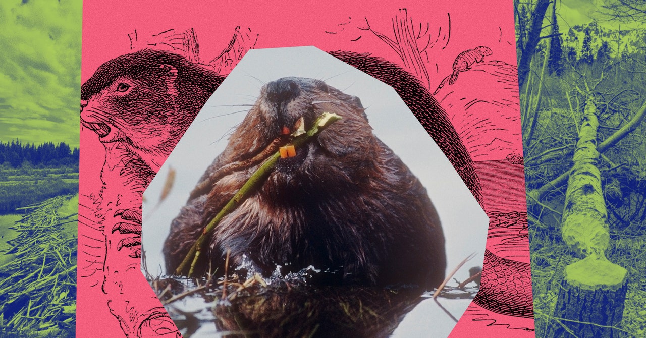
For the first time in four centuries, it’s good to be a beaver. Long persecuted for their pelts and reviled as pests, the dam-building rodents are today hailed by scientists as ecological saviors. Their ponds and wetlands store water in the face of drought, filter out pollutants, furnish habitat for endangered species, and fight wildfires. In California, Castor canadensis is so prized that the state recently committed millions to its restoration.
While beavers’ benefits are indisputable, however, our knowledge remains riddled with gaps. We don’t know how many are out there, or which direction their populations are trending, or which watersheds most desperately need a beaver infusion. Few states have systematically surveyed them; moreover, many beaver ponds are tucked into remote streams far from human settlements, where they’re near-impossible to count. “There’s so much we don’t understand about beavers, in part because we don’t have a baseline of where they are,” says Emily Fairfax, a beaver researcher at the University of Minnesota.
But that’s starting to change. Over the past several years, a team of beaver scientists and Google engineers have been teaching an algorithm to spot the rodents’ infrastructure on satellite images. Their creation has the potential to transform our understanding of these paddle-tailed engineers—and help climate-stressed states like California aid their comeback. And while the model hasn’t yet gone public, researchers are already salivating over its potential. “All of our efforts in the state should be taking advantage of this powerful mapping tool,” says Kristen Wilson, the lead forest scientist at the conservation organization the Nature Conservancy. “It’s really exciting.”
The beaver-mapping model is the brainchild of Eddie Corwin, a former member of Google’s real-estate sustainability group. Around 2018, Corwin began to contemplate how his company might become a better steward of water, particularly the many coastal creeks that run past its Bay Area offices. In the course of his research, Corwin read Water: A Natural History, by an author aptly named Alice Outwater. One chapter dealt with beavers, whose bountiful wetlands, Outwater wrote, “can hold millions of gallons of water” and “reduce flooding and erosion downstream.” Corwin, captivated, devoured other beaver books and articles, and soon started proselytizing to his friend Dan Ackerstein, a sustainability consultant who works with Google. “We both fell in love with beavers,” Corwin says.
Corwin’s beaver obsession met a receptive corporate culture. Google’s employees are famously encouraged to devote time to passion projects, the policy that produced Gmail; Corwin decided his passion was beavers. But how best to assist the buck-toothed architects? Corwin knew that beaver infrastructure—their sinuous dams, sprawling ponds, and spidery canals—is often so epic it can be seen from space. In 2010, a Canadian researcher discovered the world’s longest beaver dam, a stick-and-mud bulwark that stretches more than a half-mile across an Alberta park, by perusing Google Earth. Corwin and Ackerstein began to wonder whether they could contribute to beaver research by training a machine-learning algorithm to automatically detect beaver dams and ponds on satellite imagery—not one by one, but thousands at a time, across the surface of an entire state.
After discussing the concept with Google’s engineers and programmers, Corwin and Ackerstein decided it was technically feasible. They reached out next to Fairfax, who’d gained renown for a landmark 2020 study showing that beaver ponds provide damp, fire-proof refuges in which other species can shelter during wildfires. In some cases, Fairfax found, beaver wetlands even stopped blazes in their tracks. The critters were such talented firefighters that she’d half-jokingly proposed that the US Forest Service change its mammal mascot—farewell, Smoky Bear, and hello, Smoky Beaver.


